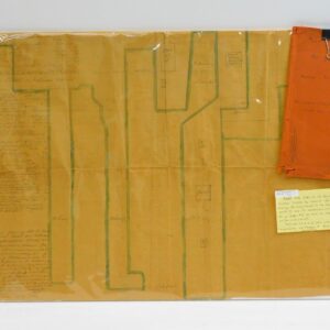
1846 plan of the Howland and Rodman Wharfs. Drawn up by Samuel Rodman. Showing the waterfront at the foot of North Street, as well as other streets on the New Bedford waterfront. 20″ by 30″.
Samuel Rodman 1846 Map of Howland and Rodman Wharfs.
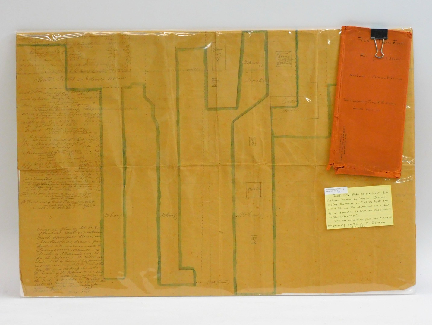
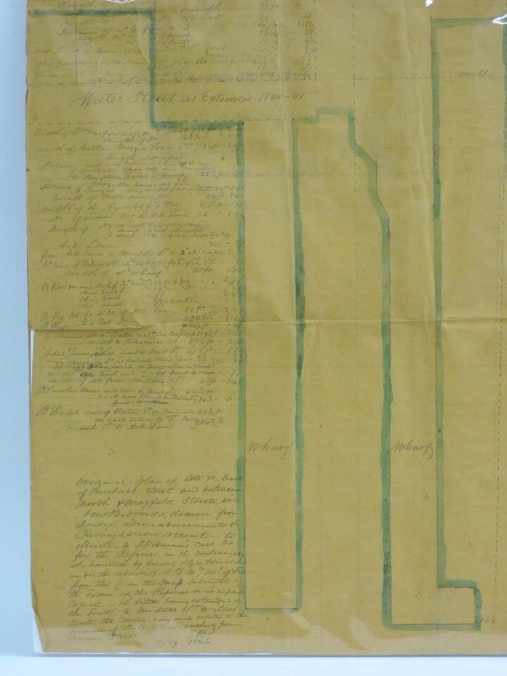
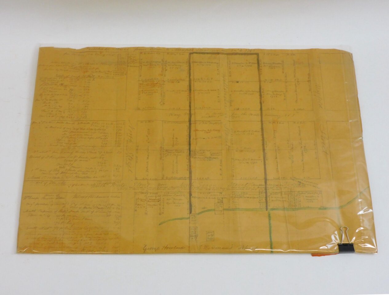
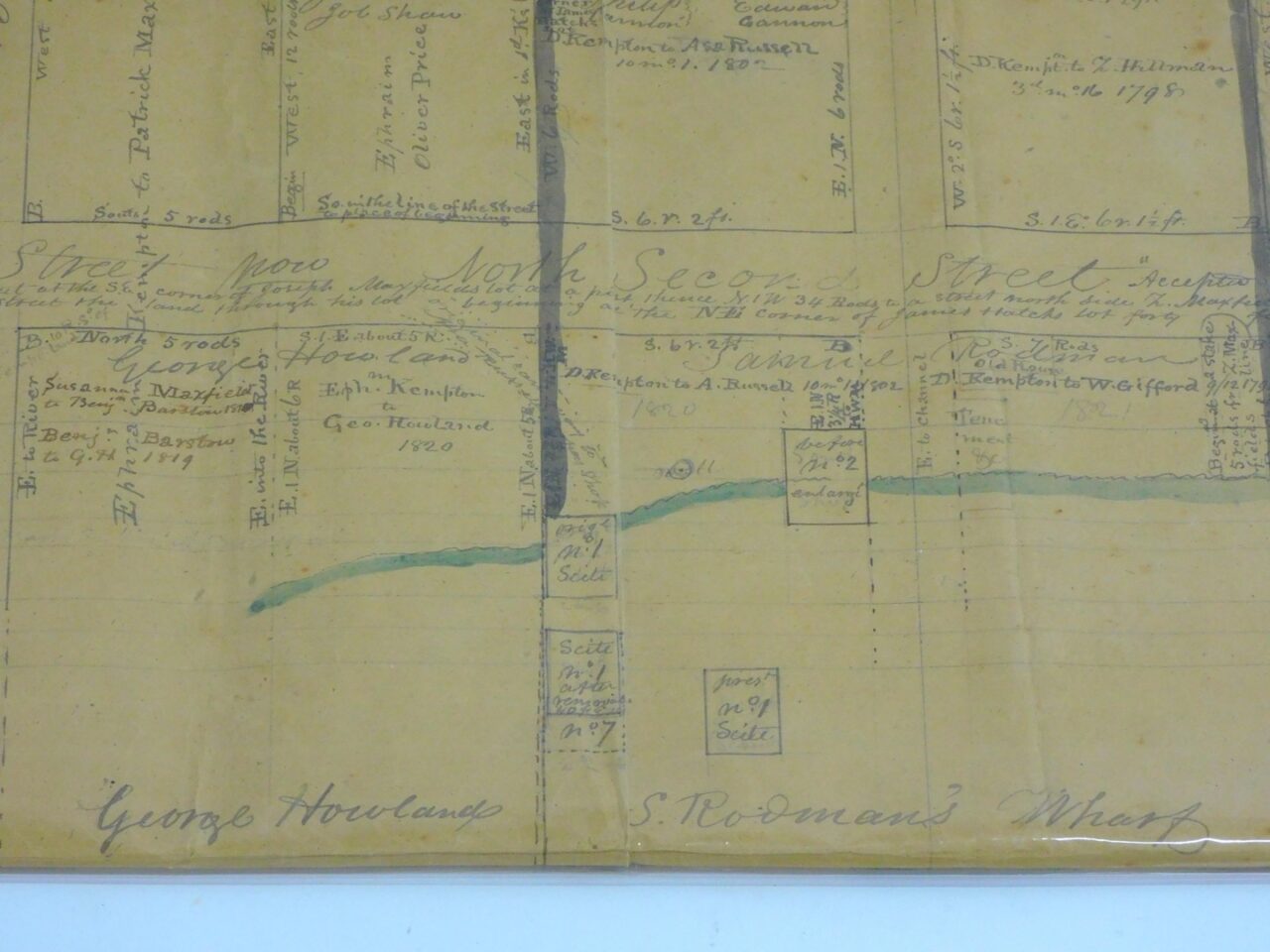
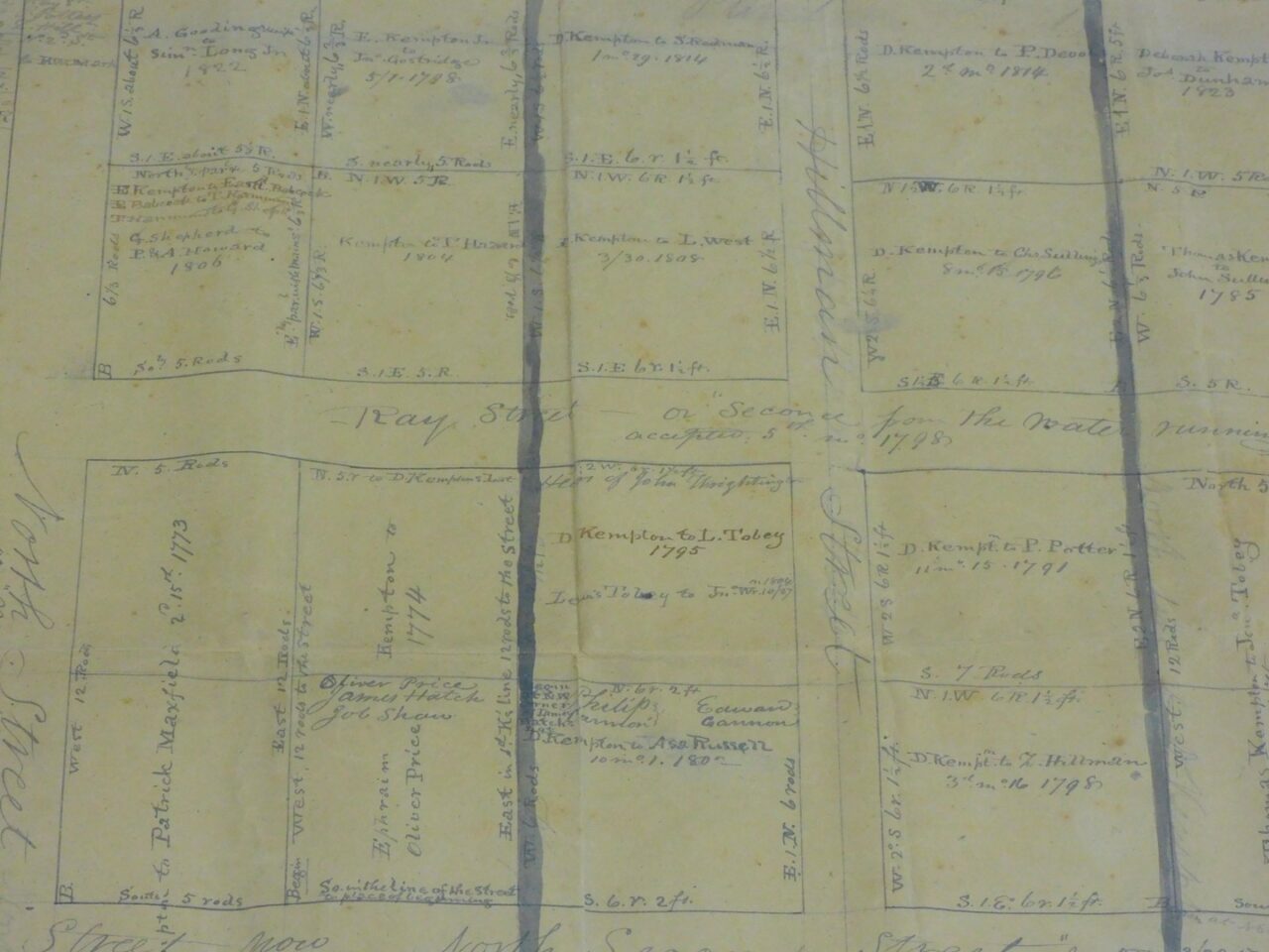

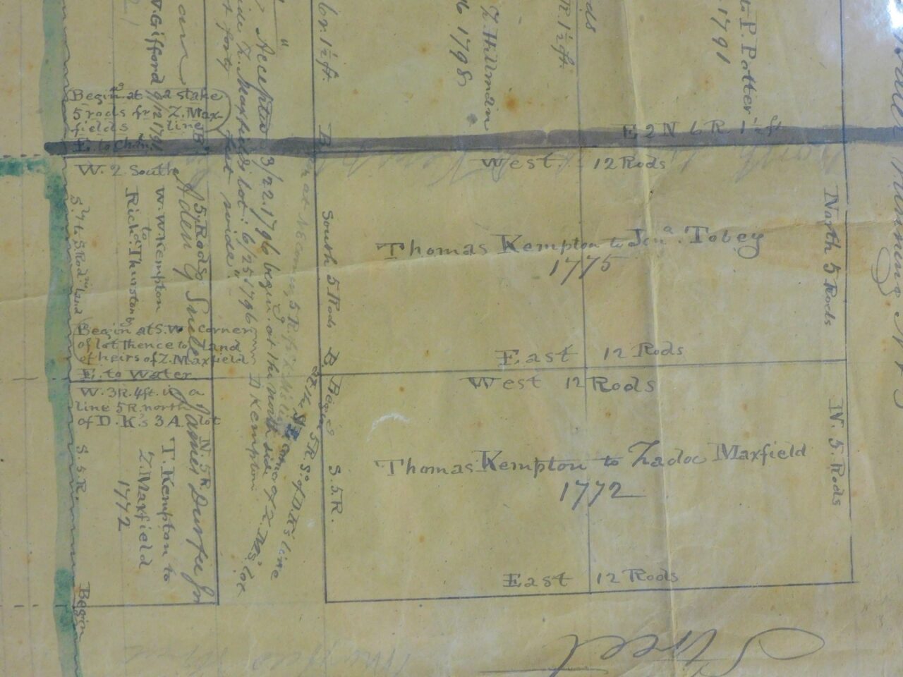
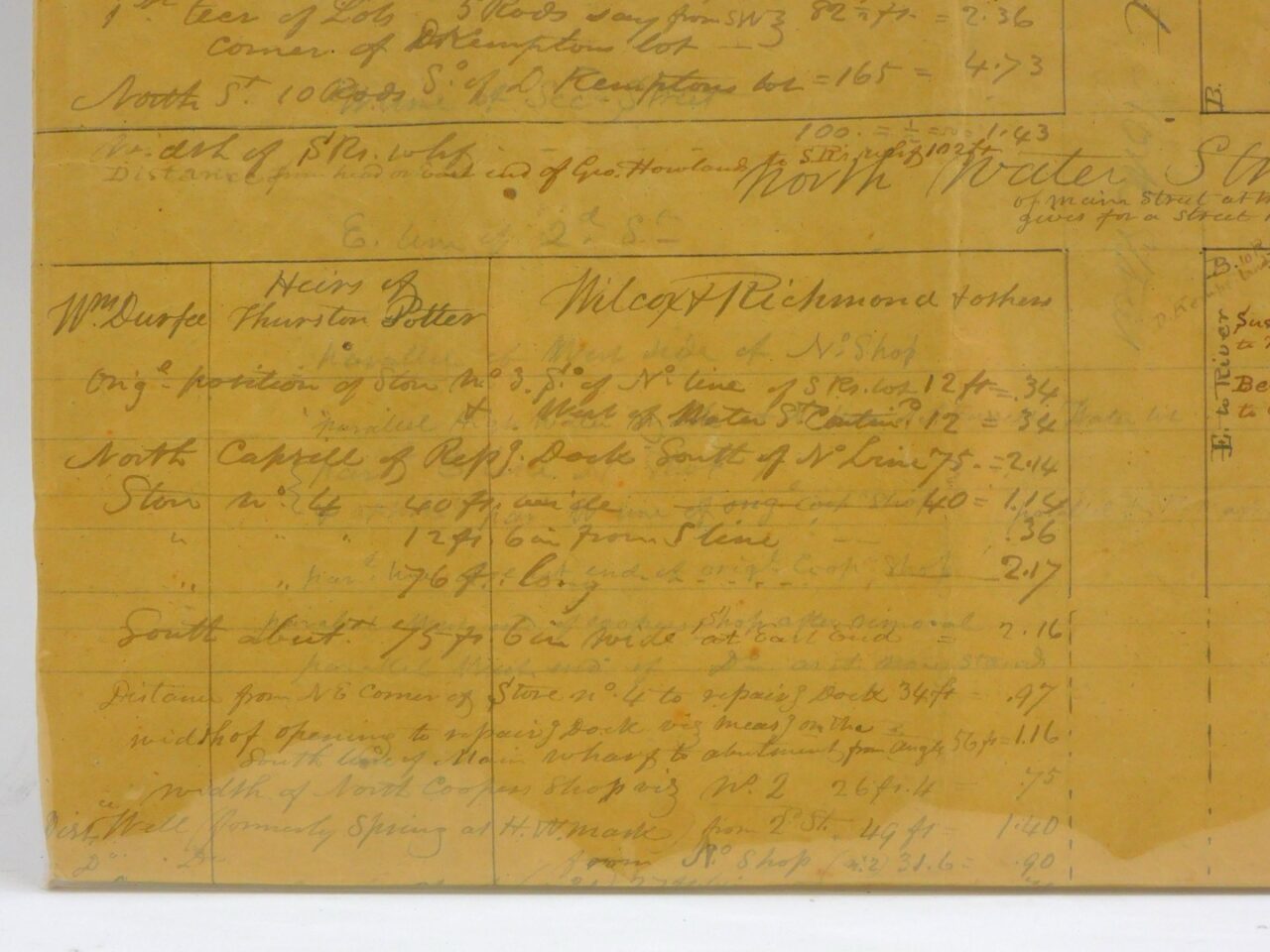
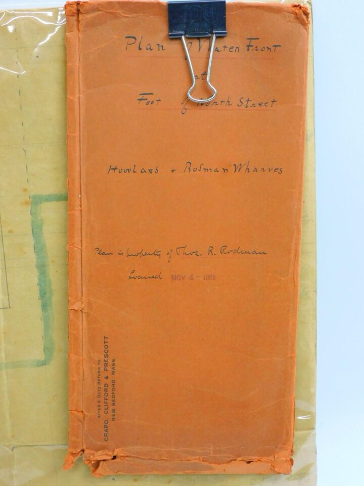
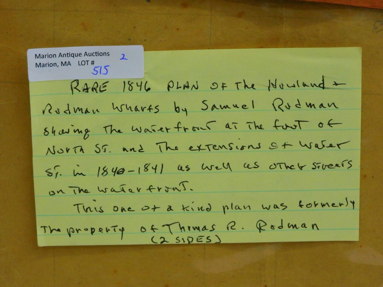
1846 plan of the Howland and Rodman Wharfs. Drawn up by Samuel Rodman. Showing the waterfront at the foot of North Street, as well as other streets on the New Bedford waterfront. 20″ by 30″.
Our next auction has not yet been scheduled. Please check back soon or click here to view past auctions.
"*" indicates required fields

Visit our retail store, just half a mile down the road on Route 6. More Details →