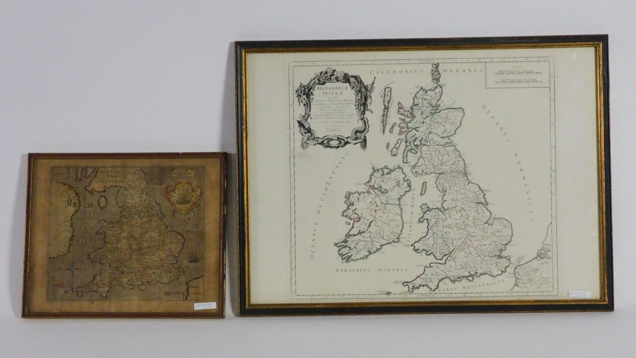
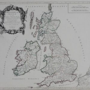
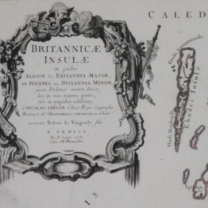
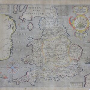
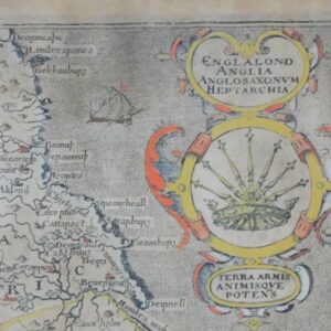
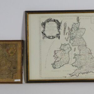
(2) maps of England, to include: a Britannice Insule “British Isles”, 1778, with observations of Robert de Vaugondy, Par p. Santini and Chez MM. Remondini, engraved and hand colored. Sight size 19″ x 22″, with frame 21 3/4″ x 29 1/2″. Along with an engraved hand colored map, probably 17th century, titled Engalond Anglia Annglo Saxonum Heptarchia – Land of weapons and might spirits. Sight size 11″ x 13″, with frame 13 1/4″ x 16″. Shows tanning and some staining. Maps have not been removed from frames.
Robert de Vaugondy Britannice Insule & Engalond Anglia Annglo Saxonum Heptarchia Maps, 1778 & 17th Century.
