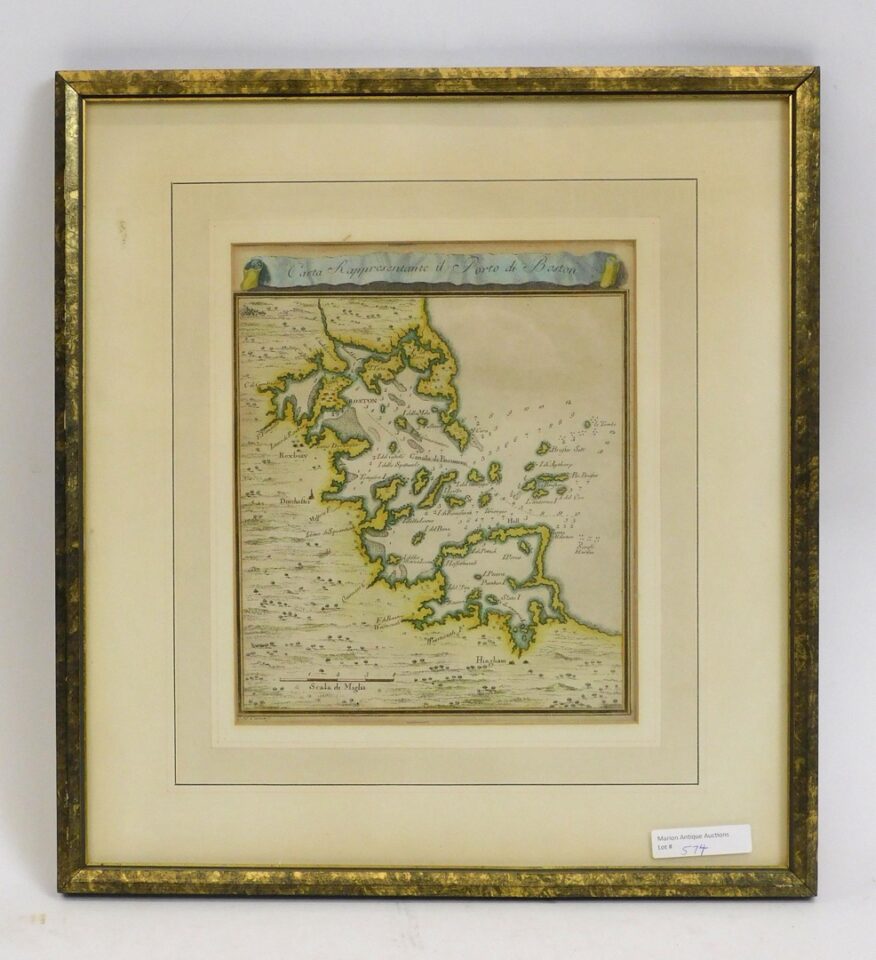
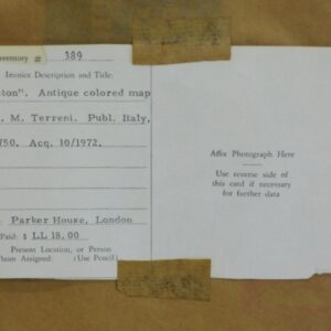
French and Indian War period map Port of Boston, circa 1750, Carta Rappresentante il Porto di Boston. Engraved by G. M. Terreni, signed lower left, hand colored. The title is printed in a banner design across the top of the map. It appears to be in excellent condition but has not been removed from the frame. Sight size 8 1/2″ x 7″, with frame 4 3/4″ x 13 1/2″. Provenance: George Morgan acquired in 1972 from Parker House, London.
Giovanni Maria Terreni French and Indian War Port of Boston Map, circa 1750, Hand-Colored Engraving with Banner Title.


