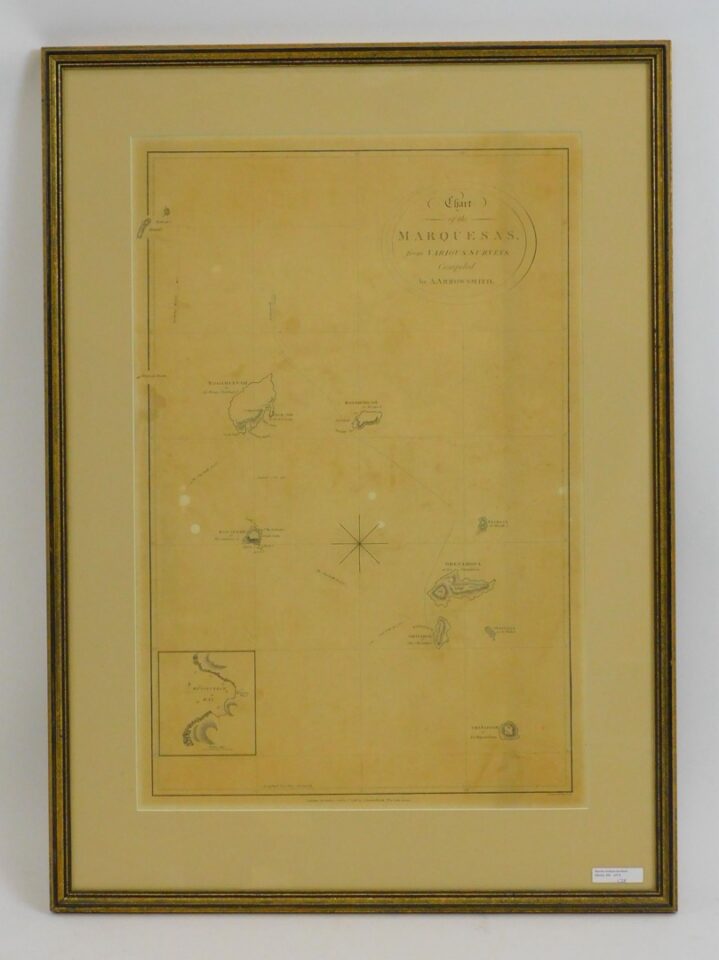
1798 framed and glazed map of the Marquesas from various surveys compiled by A. Arrowsmith. Showing the islands and a close-up of Resolution Bay as well as routes taken by Captain Cook and other mariners in the 1700s. Shows some light foxing and discoloration. 23″ by 15″. Frame size 30″ by 22″.
Antique 1798 Marquesas Map by A. Arrowsmith in Auction Catalog


