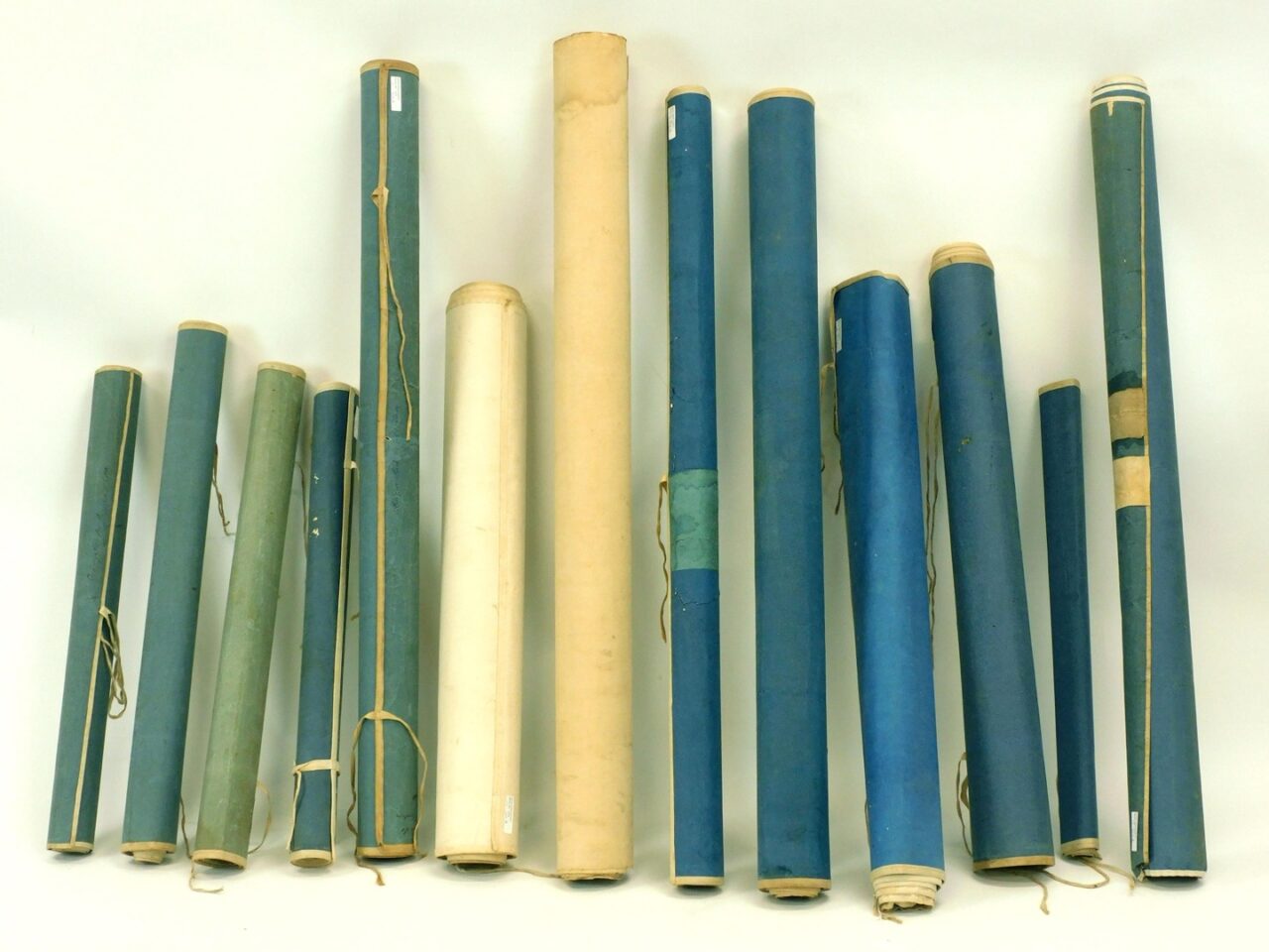
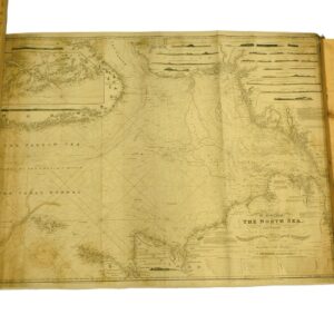
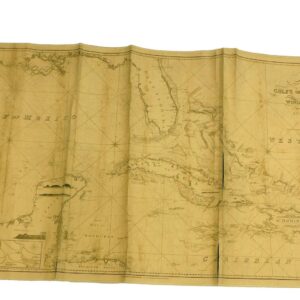
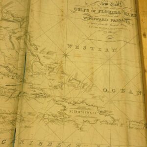
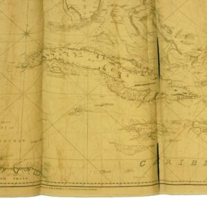
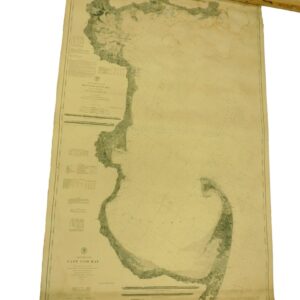
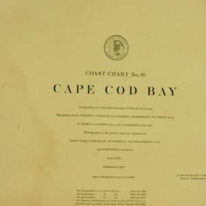
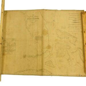
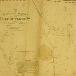
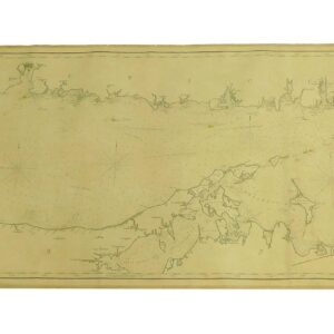
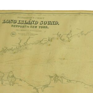
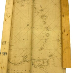
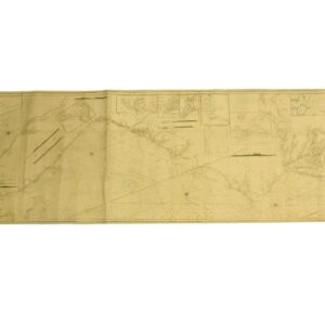
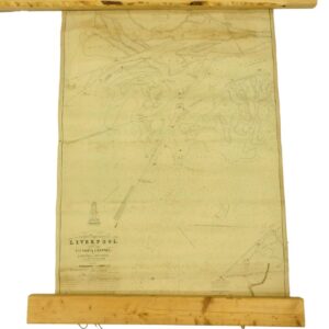
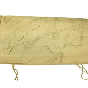
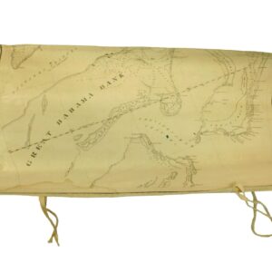
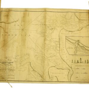
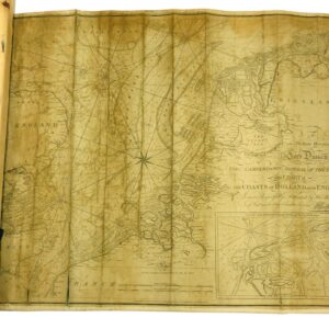
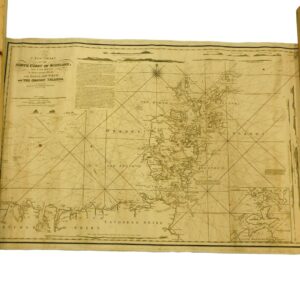
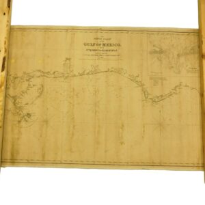
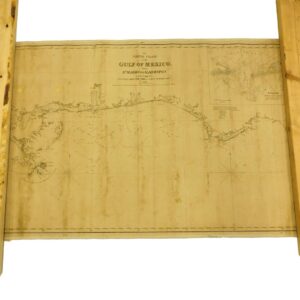
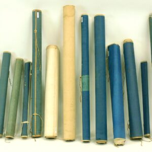
19th c. To include (1) “Great Bahama Bank”, 23 1/2″ x 13″, may have been part of a larger chart but has a cloth border on all ends, water stain in left corner. (1) “The North Sea”, Chart of the Mouths of the Elbe, Weser and Johde Rivers, William Harris and W. Campbell, Hamburg dealer in Charts and Nautical books, published by W. Faden, London, 1817, canvas backing good condition with some discoloration, 22 1/2″ x 32 1/4″. (1) “Bahama Banks and Gulf of Florida”, published by E.G.W. Blunt, 39″ x 49″, small tears in border and some discoloration. (1) A New Chart “The North Coast of Scotland and the Orkney Islands”, published by Laurie and Whittle, London, 1818, 24 1/2″ x 36″, good condition with light staining and canvas back. (1) “North Coast of America Ship Masters Society of the City of New York”, published by Edmund Blunt, 1826, 30″x 124″, shows east coast from NY to Florida, good condition with some minor staining, canvas back. (1) “Eldridge’s Chart of Long Island Sound”, Newport to NY, published by S. Thaxter, Boston, 1880, 27 1/2″ x approx. 110″, some minor water stains, canvas back, good condition. (1) “Gulf of Florida including Windward Passages’, published by R. Blatchford, London. 1843, 39″ x 72”, tear on seam and in corner and some staining, canvas backed. (1) “The North Coast of the Gulf of Mexico” from St. Marks to Galveston, published by E & G Blunt, NY, 1842, 27″ x 39″, good condition with some staining, canvas backed. (1) “The Carribean Sea”, 39″ x 27″, probably part of a larger chart, shows tears on both edges, canvas back. (1) “The Coast of Holland and England” dedicated to Lord Duncan, Admiral of The Blue. Has handwritten notes on verso, for location longitude and latitude, poor to fair condition with tears and staining, canvas back. 25 1/2″ x 30″. (1) “Liverpool Swewing, the Victoria Channel” by A. Meller, ca 1837, 43″ x 30 1/2″, good condition with light staining, canvas back. (1) “The North Sea”, published by J. W. Norie, 1881, 38″ x 51″, some minor staining otherwise good condition, canvas back. (1) “Cape Cod Bay Coast Survey”, published 1872, corrected 1877, issued by C.P. Patterson, good condition with some staining, canvas back.

